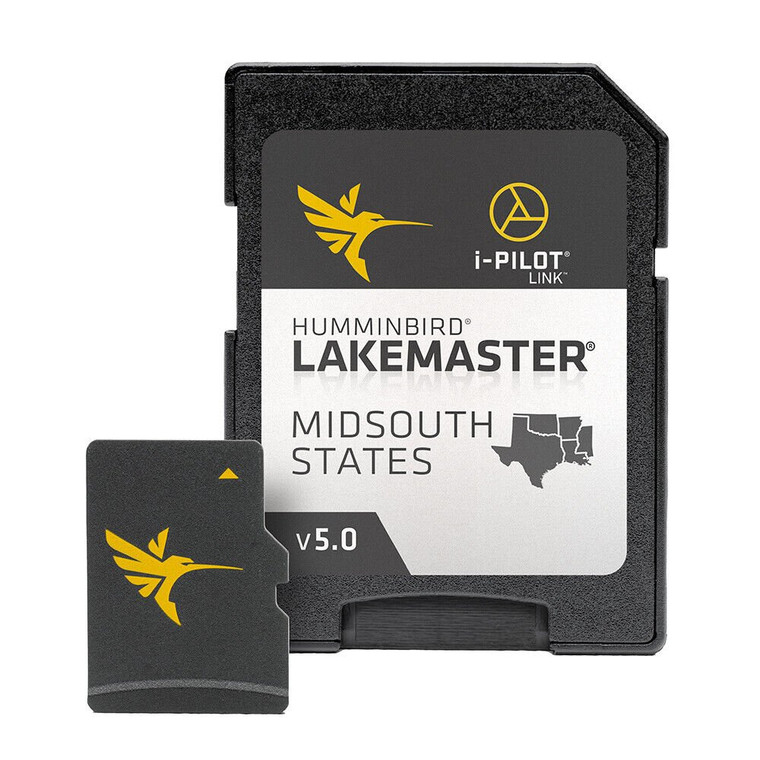
Humminbird LakeMaster Chart - Midsouth States V5
LakeMaster Chart - Midsouth States V5
The Humminbird LakeMaster Mid-South Edition, Version 5, has added over 65 new lakes since the prior version – 60+ in High Definition. In all, this version boasts more than 270 High Definition lakes and more than 385 total lakes from TX, OK, AR, LA, and MS, so you can be confident in where you're fishing, no matter where the fish take you.
Features:
- LakeMaster micro SD card with adapter includes depth contour information and features such as Depth Highlight, Shallow Water Highlight and Water Level Offset, which can be used exclusively with Humminbird fish finders
- High-Definition lake map data available for the following lakes: Brady Branch Reservoir, Caddo, DeQueen (AR), Eufaula (OK), Grand Lake of the Cherokees, Livingston, Nacodgoches, Norfork, Robert S Kerr, Skiatook, Tawakoni and more.
- Can be used with a Minn Kota i-Pilot Link® trolling motor, allowing you to “Follow” a selected depth contour line, delivering precise, automatic boat control
- Scrollable lake list allows you to view and research lakes from your Humminbird fish finder
- LakeMaster cards are compatible with all GPS-equipped HELIX, SOLIX, ONIX and ION Series models, along with select 600-1100 Series models.
- Includes micro SD card with full size adapter and water Resistant SD card carrying case
- Opened packages are not eligible for return
WARNING: This product can expose you to chemicals including Naphthalene which is known to the State of California to cause cancer. For more information go to P65Warnings.ca.gov.
Features
- Maximize every moment of fishing when you upgrade to the unrivaled accuracy and detail of Humminbird LakeMaster mapping, which features easy-to-read contours, highlighted depth ranges, and scrollable lake lists.
- This Mid-South States Edition, Version 5 boasts more than 270 high-definition lakes and more than 385 total lakes from TX, OK, AR, LA, and MS, adding over 65 new lakes since the prior version.
- Easy-to-see shading highlights shallow-water areas within an adjustable range up to 30 feet, and depth contours and shorelines can be synchronized with the actual water levels of lakes, reservoirs, and rivers.
- LakeMaster digital maps can be used with Minn Kota i-Pilot Link (sold separately), allowing you to follow a selected depth contour line to deliver precise, automatic boat control.
- LakeMaster digital maps come on a Micro SD card (with included SD card adapter) that's compatible with all GPS-equipped HELIX, SOLIX, ONIX, and ION Series models and select 600-1100 Series models.
Fast Shipping
We get your order shipped out within 2-business days and delivered to your doorstep as quickly as possible.
Competitive Pricing
With our dynamic pricing model, our prices are always competitive. Our prices are some of the lowest that you will find on the internet. Rest assured that you're getting a good deal when purchasing with us.
30-day Money Back Guarantee
We are committed to making sure that you leave this transaction satisfied. If you're unhappy with the product for any reason, you may return it back for your money-back or a replacement within 30 days, just return it in the same condition we sent it to you. No questions asked!